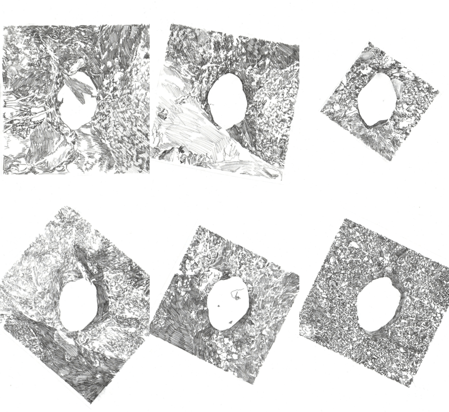
Rock Tracking
On 22nd April 2021 a rock was released onto a patch of beach on the side of the Penryn River in Falmouth. A tracking device was attached to the rock, and the two painted white to maximise visibility when locating and plotting. The resulting documentation shows where the rock was found each day, starting with close-up photographs of the rock and moving onto wider angle shots that show it in relation to the beach as a whole.

22/04/2021

23/04/2021

24/04/2021

26/04/2021

27/04/2021

28/04/2021

30/04/2021

03/05/2021

05/05/2021

06/05/2021

07/05/2021

11/05/2021

13/05/2021

14/05/2021

18/05/2021

29/05/2021

02/06/2021

23/06/2021

04/11/2021

05/11/2021

06/11/2021

07/11/2021

08/11/2021

09/11/2021

10/11/2021

13/11/2021

14/11/2021

15/11/2021

16/11/2021

19/11/2021

21/11/2021

22/11/2021

23/11/2021

26/11/2021

03/12/2021

24/04/2021

26/04/2021

27/04/2021

23/04/2021

28/04/2021

30/04/2021

03/05/2021

05/05/2021

06/05/2021

07/05/2021

11/05/2021

14/05/2021

04/11/2021

05/11/2021

06/11/2021

07/11/2021

08/11/2021

09/11/2021

10/11/2021

13/11/2021

14/11/2021

15/11/2021

16/11/2021

19/11/2021

21/11/2021

22/11/2021

23/11/2021

26/11/2021

03/12/2021

27/04/2021

26/04/2021

28/04/2021

30/04/2021

03/05/2021

05/05/2021

06/05/2021

07/05/2021

11/05/2021

13/05/2021

14/05/2021

04/11/2021

05/11/2021

06/11/2021

07/11/2021

08/11/2021

09/11/2021

10/11/2021

13/11/2021

14/11/2021

15/11/2021

16/11/2021

19/11/2021

21/11/2021

22/11/2021

23/11/2021

26/11/2021

03/12/2021
The rock’s path across the beach


Concertina book documenting the close-up photos from the project. The opening and closing text read as follows:
Proposed exhibition display of the resulting images - dates are displayed along the top, with the blank spaces being labelled as ‘missing data’, as seen in the close-ups below:
The rock’s journey (film)
The rock’s journey (drawn film)


